Keep in the Loop With the Latest Adirondack News, Local Business Updates, and More
Roundup of What's New in the Adirondacks
Discover what's happening in communities throughout the Adirondack Park! Our Adirondack news roundup features the latest updates about businesses, major event announcements, and a variety of other local stories.
Plan for Cow Plop Bingo This Summer
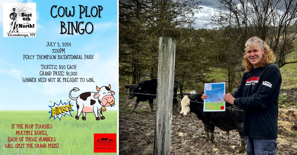
The Best 4th in North, one of the top July 4th events in the Adirondacks, will include a unique fundraiser this year: Cow Plop Bingo.
Cow Plop Bingo will take place on July 3 at 5pm as part of the Best 4th in the North schedule of events.
Tickets are $20 each, with a grand prize of $1,000. More details are expected to be released as we get closer, and you can keep an eye on the Best 4th in the North Facebook page and and the Ticonderoga Montcalm Street Partnership at timainstreet.org.
River Towns to Visit in the Adirondacks
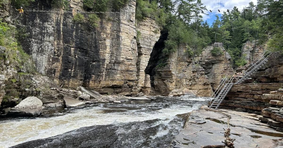
World Atlas recently put together a list of the nine most charming river towns in the Adirondacks to visit this year. With so much emphasis on the mountains, it's almost easy to forget the beautiful rivers and waterways on the region!
Their top 9 are:
- Lake Placid
- Jay
- Keene
- Glens Falls (just outside Park boundaries)
- Old Forge
- Saranac Lake
- Lake Luzerne
- Long Lake
- Tupper Lake
Sources: World Atlas
Only 1 Hiker Rescued on Eclipse Day

The DEC warned hikers to stay off the trails during the eclipse, in part because of concerns of trail overcrowding, which can lead to destruction of trailside vegetation.
According to New York Upstate, most outdoor recreationists did avoid the trails on Monday, April 8, with only one rescue reported.
The rescue happened after the eclipse, at 4:32pm, when a 29-year hiker from Elmira injured her leg near the summit of Mount Saint Regis, considered a moderately challenging route.
Sources: New York Upstate
Adirondack Documentary Airs April 24

The Daily Gazette reports that in honor of Earth Week, WMHT/PBS will be showing a new documentary that was filmed in the Adirondacks called "An Above Average Day." It will air on Wednesday, April 24, at 5:30pm.
The film was produced and directed by Katera and Aviral Kapoor, founders of Veda Films, and it follows the hiking and wilderness adventures of two men.
Sources:
- The Daily Gazette: Documentary filmed in Adirondacks to premiere April 24 and WMHT
Bridge Out on Popular Trail
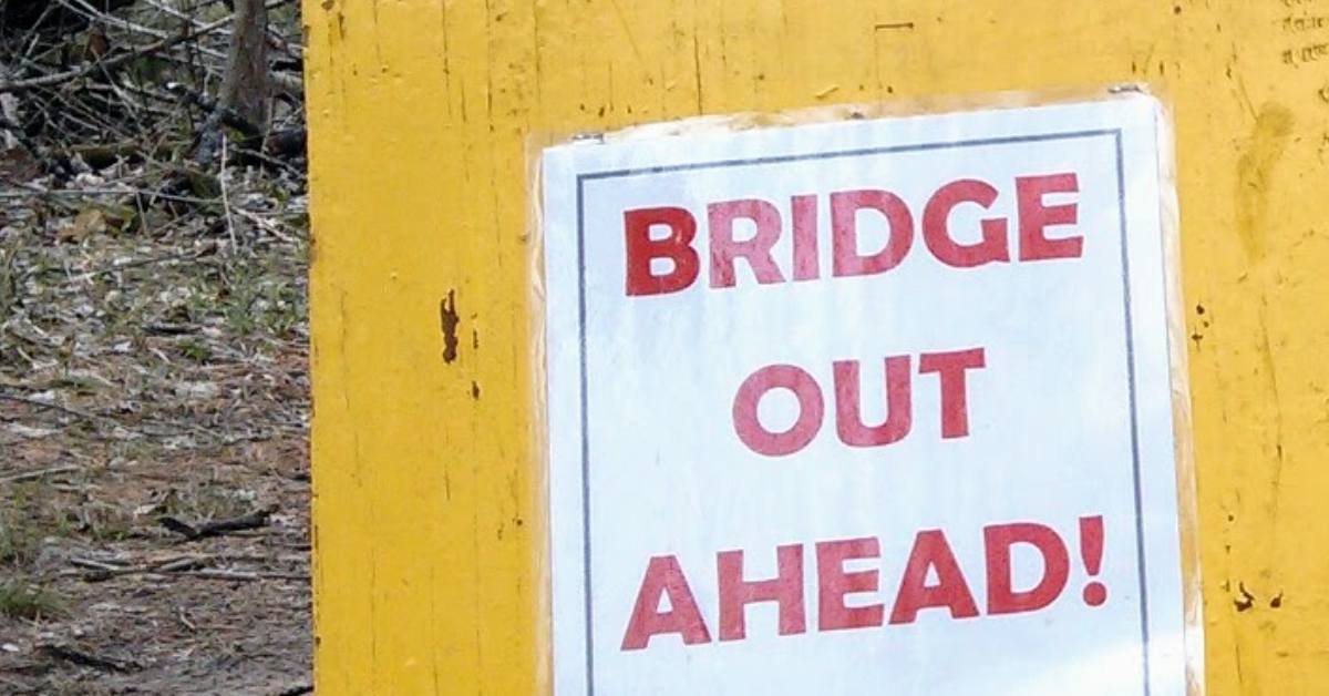
A bridge located on the trail to Scarface Mountain in Ray Brook has been deemed unsafe, prompting the closure of this trail until further notice. The DEC has developing plans for a replacement but have not yet at this time provided an estimated completion date.
Scarface Mountain is one of six mountains in the Saranac Laker 6ers Hiking Challenge.