Keep in the Loop With the Latest Adirondack News, Local Business Updates, and More
Roundup of What's New in the Adirondacks
Discover what's happening in communities throughout the Adirondack Park! Our Adirondack news roundup features the latest updates about businesses, major event announcements, and a variety of other local stories.
Bridge Out on Popular Trail
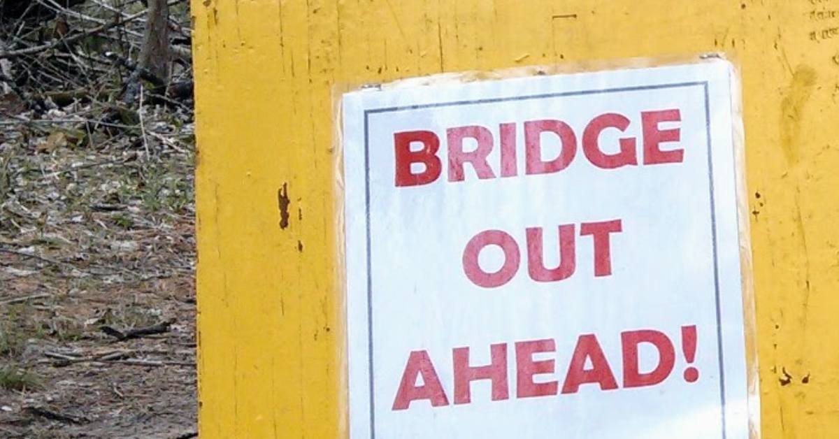
A bridge located on the trail to Scarface Mountain in Ray Brook has been deemed unsafe, prompting the closure of this trail until further notice. The DEC has developing plans for a replacement but have not yet at this time provided an estimated completion date.
Scarface Mountain is one of six mountains in the Saranac Laker 6ers Hiking Challenge.
Frenchy's Ice Cream to Reopen

Frenchy's Ice Cream in Crown Point is set to reopen, reports the Sun Community News, in May 2024.
The business was originally known as Christy's Creamies, until the building burned down in 2014. The facility was rebuilt and sold to the Deyos, owner of Avery Energy on the same property.
Sources:
- The Sun Community News: Former Frenchy's ice cream to reopen
Plan for Cow Plop Bingo This Summer

The Best 4th in North, one of the top July 4th events in the Adirondacks, will include a unique fundraiser this year: Cow Plop Bingo.
Cow Plop Bingo will take place on July 3 at 5pm as part of the Best 4th in the North schedule of events.
Tickets are $20 each, with a grand prize of $1,000. More details are expected to be released as we get closer, and you can keep an eye on the Best 4th in the North Facebook page and and the Ticonderoga Montcalm Street Partnership at timainstreet.org.