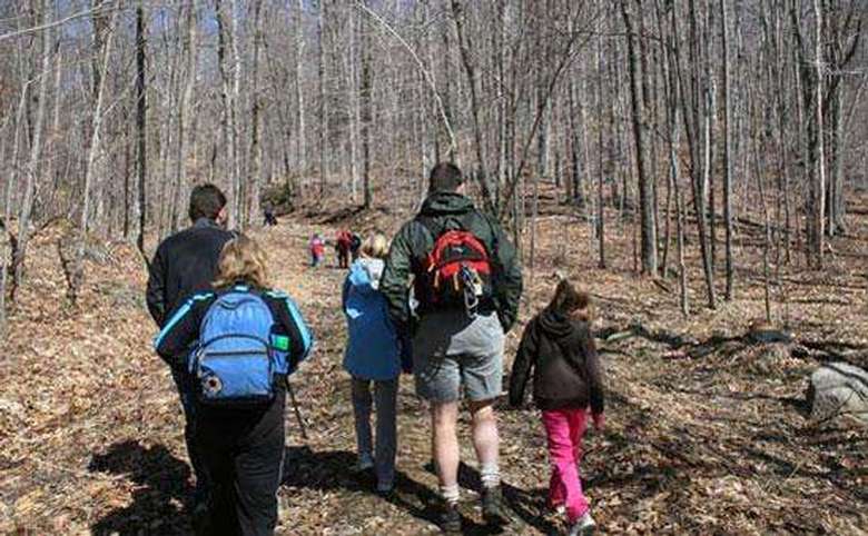
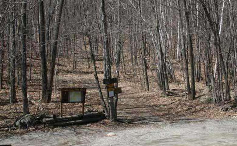
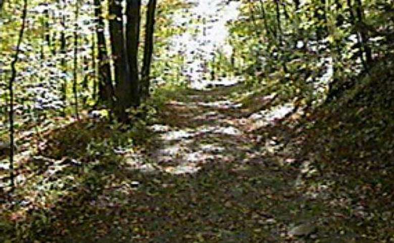
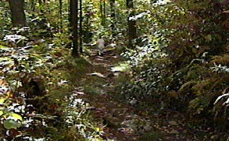
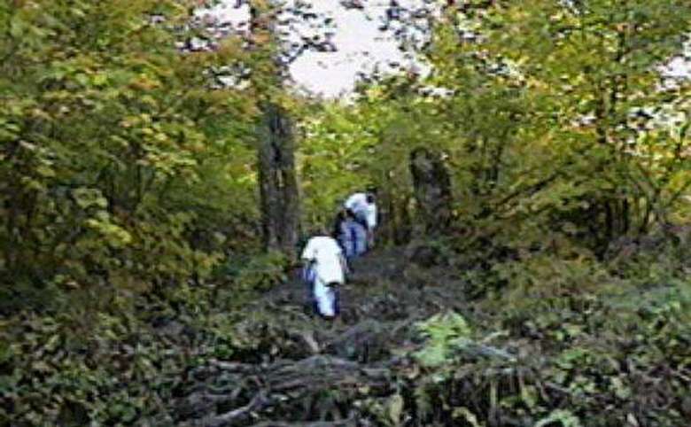
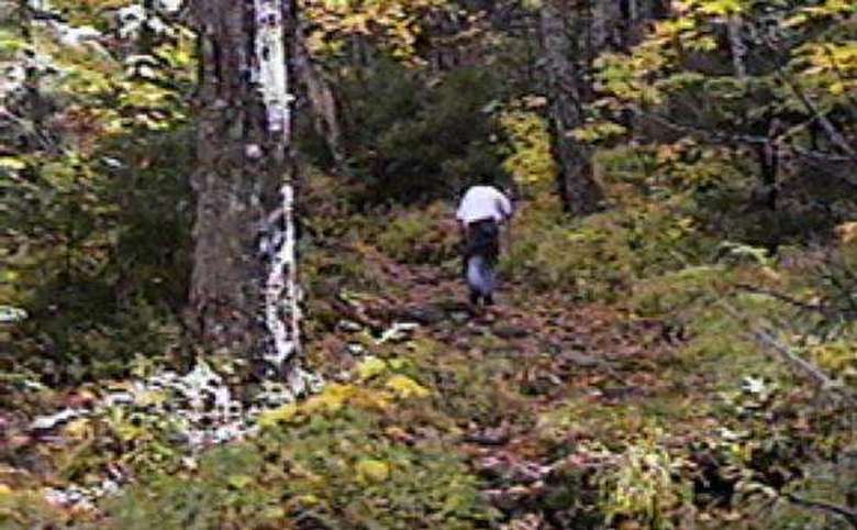
A relatively easy hike with a few challenging spots, Black Mountain offers four incredible rewards for the price of one. Length: 2.5 miles.
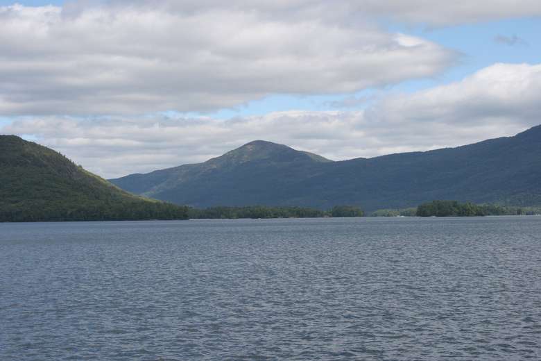
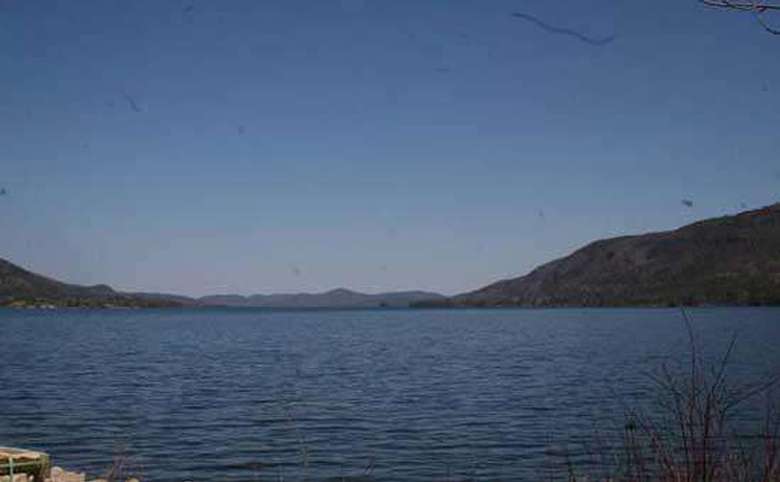
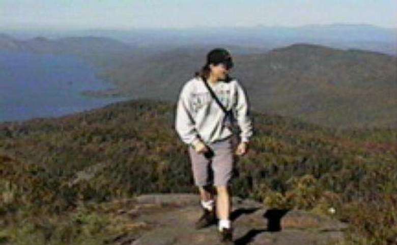
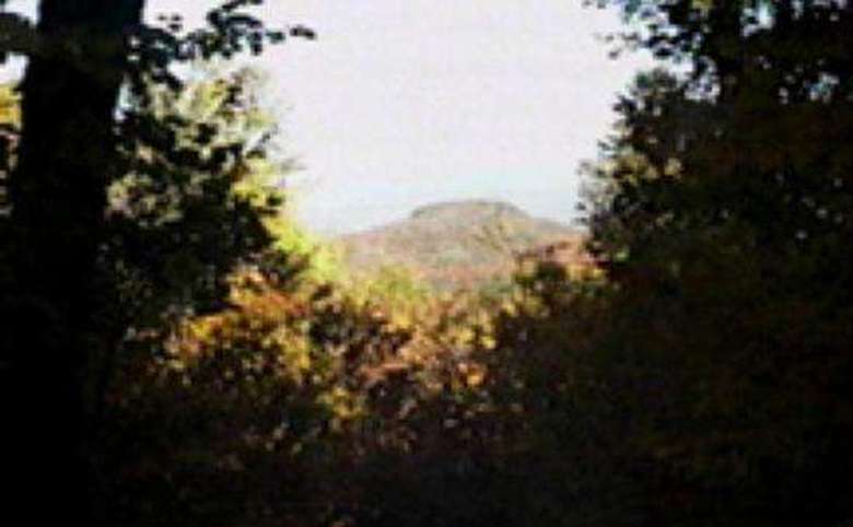
First, you get a breathtaking view of the entire northern portion of Lake George, including the island-dotted Narrows to the south, the spectacular Anthony’s Nose (AKA Profile Rocks) and Rogers’ Slide farther to the north, and the many jagged peaks of Tongue Mountain looming across from you. Also included in the view are the rounded knobs of Elephant and Sugarloaf Mountains, which are part of the larger Black Mountain Range.
- The summit is crowned by one of the few remaining fire towers in the Adirondacks. Up until the 1970s, fire wardens spent the entire summer and fall searching the horizon for forest fires. The tower, now out of service, is a reminder of our historical wilderness heritage.
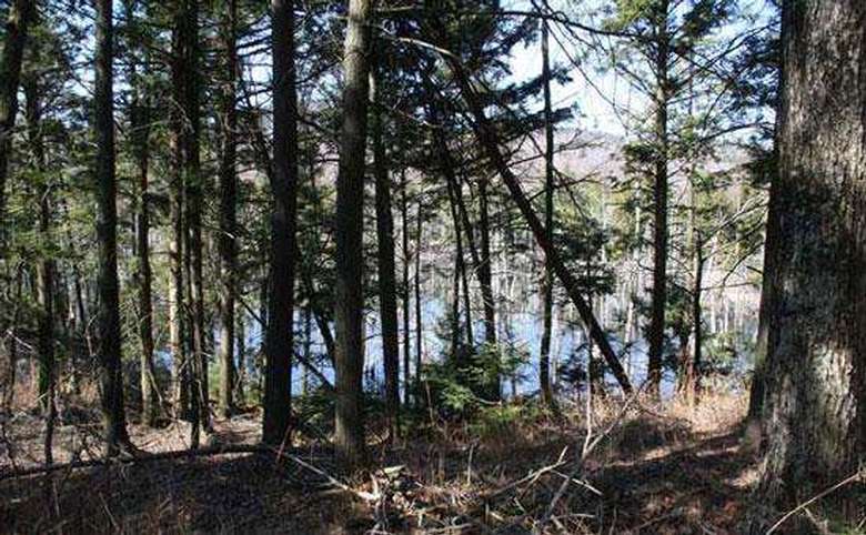
- Three small ponds (Black Mountain, Lapland, and Millman) lie within a mile of the summit, to the south and east. Two others (Fishbrook and Greenland Ponds) are two miles farther south. Trails lead to all of them.
- Finally, after working up a powerful sweat from the hike, you can cool off in crystal-clear waters at the Washington County Beach in Huletts Landing, and then watch as the sun sets behind Tongue Mountain’s massive Deer Leap cliff (bring swimsuits).
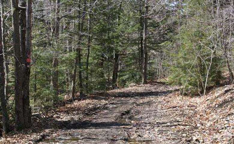
CAUTION: At one point, there is a tricky and easy-to-overlook trail junction. The trail to the summit will bear left, while the other trail plunges straight down (a very sharp right). You won’t notice it on the way up, but you will get seriously lost if you miss it on the descent.
Remember, the main trail bears to the right on the descent. When people walk downhill, they generally walk faster, and tend to pay less attention to their surroundings.
SOLUTION: Be on the lookout for this junction on the trip up. When you find it, mark it with a temporary “sign”: pieces of yarn tied to branches, a pattern of sticks and/or stones in the middle of the trail, etc.
NOTES:
- The mountain is accessible by boat at Black Mountain Point.
- Black, Buck, and Sleeping Beauty Mountains, as well as the ponds near them, are interconnected by trails. If you are a more experienced hiker and prefer the challenge, try the trails around Tongue Mountain.
GETTING THERE FROM LAKE GEORGE
There are two options:
East Route:
- Head south on Route 9 to the junction of Route 149.
- Turn left on Route 149, and follow it until it joins Routes 4/22.
- Turn left on Routes 4/22, and follow it until you reach Whitehall.
- Bear left on Route 22, and follow it through the lower end of Lake Champlain.
- Make a left turn on (Washington County) Route 6.
- Follow Route 6 toward Huletts Landing.
- Be prepared to take a left on Pike Brook Road.
- The trailhead is approximately one mile on the right side of that road. To reach the beach, turn left on Route 6.
West Route:
- At the northern end of Lake George Village, head north on Route 9N toward Ticonderoga. (Part of this road is the steep, hilly section near Tongue Mountain.)
- When you reach the Village of Ticonderoga, Route 9N will make a sharp left turn. Follow 9N to a four-way intersection with Route 74.
- Go right on Routes 22/74, for a short distance.
- Route 74 will bear left, toward Fort Ticonderoga.
- Continue to go straight on Route 22.
- Continue south on Route 22 (you will see Lake Champlain on your left) until you reach (Washington County) Route 6.
- Turn right on Route 6, and follow it toward Huletts Landing.
- Be prepared to take a right on Pike Brook Road.
- The trailhead is approximately one mile on the right side of that road. To reach the beach, turn left on Route 6.
(Take a few minutes for a scenic wonder: on Route 9N, three miles past the Deer Leap trailhead, a pull-off to your right offers a stunning view of the lake below, and of spectacular Bloomer Mountain above. The charming Union Chapel lies a short distance to the north.)