Keep in the Loop With the Latest Adirondack News, Local Business Updates, and More
Roundup of What's New in the Adirondacks
Discover what's happening in communities throughout the Adirondack Park! Our Adirondack news roundup features the latest updates about businesses, major event announcements, and a variety of other local stories.
Give Turtles a Brake: DEC Urges Drivers to Slow Down for Nesting Turtles in the Adirondacks
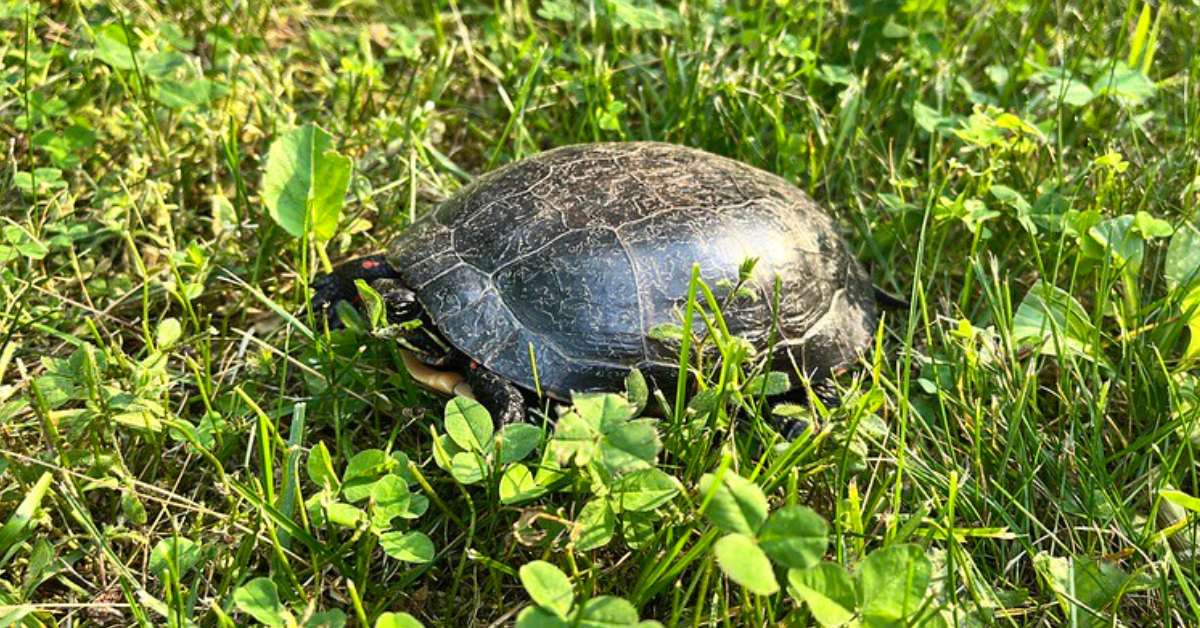
Turtle nesting season is underway in the Adirondacks, and the New York State Department of Environmental Conservation (DEC) is reminding drivers to “Give Turtles a Brake.” From May through June, turtles are frequently seen crossing roads in search of suitable nesting spots, especially near wetlands, rivers, and sandy areas.
Unfortunately, thousands of turtles are struck by vehicles each year—making road mortality one of the leading threats to their survival.
The DEC encourages motorists to be extra cautious, especially on rural roads and near marshy terrain. If you spot a turtle on the road and can safely stop, consider helping it across—always moving it in the direction it was headed. Avoid grabbing turtles by the tail, and use both hands to gently lift most species by the sides of the shell. Snapping turtles require special care—support them from the rear of the shell or slide them onto a mat to drag across safely.
Keep in mind: all native turtles in New York are protected by law and cannot be taken home. Many local turtle populations are in decline, and losing even a single adult—especially a nesting female—can have lasting impacts.
For more safety tips and information on how to help, visit the DEC’s turtle protection resources.
Find things to do in the Adirondacks >>