Keep in the Loop With the Latest Adirondack News, Local Business Updates, and More
Roundup of What's New in the Adirondacks
Discover what's happening in communities throughout the Adirondack Park! Our Adirondack news roundup features the latest updates about businesses, major event announcements, and a variety of other local stories.
Catch the Garden Shuttle from Marcy Field This Summer
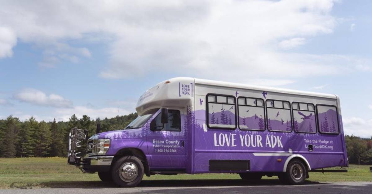
Heading into the High Peaks this summer? Skip the parking stress and hop on the Town of Keene’s Garden Shuttle — now running every Saturday and Sunday through October (exact end date to be announced).
This convenient service operates from 7:00 AM to 7:00 PM, making it easy to access the Garden parking lot and some of the Adirondacks’ most popular trails.
The shuttle picks up at the Marcy Field Trailhead and loops continuously to the Garden lot throughout the day. For just $10 USD ($13 CAD) round trip, it's a budget-friendly and eco-conscious way to start your outdoor adventure. Babies, toddlers, and pets ride free!
Payments are accepted in cash (U.S. or Canadian) or by check made out to the Town of Keene. Need cash? Head to Stewart’s in Keene for an ATM, or ask a steward for change during shuttle hours (note: change not available for Canadian currency).
The Garden Shuttle helps keep traffic light and trails more accessible — a win for hikers and the environment. Be sure to check local updates for any service changes due to weather, traffic, or scheduling, or contact the Town of Keene with questions.
Find things to do in the Adirondacks >>