The Best Access Sites for Your Adirondack Paddling Experience
Participating in paddling activities is not only good for you, but a relaxing and fun way to spend your time while in the Adirondacks! Whether you are canoeing or kayaking, plan ahead as to where the most convenient place is for you to start your paddling journey. Most are accessible via motor vehicle, a hiking trail or are DEC-maintained boat launches.
Keep reading to learn about the most favorable spots to access the Adirondack's best paddling destinations.
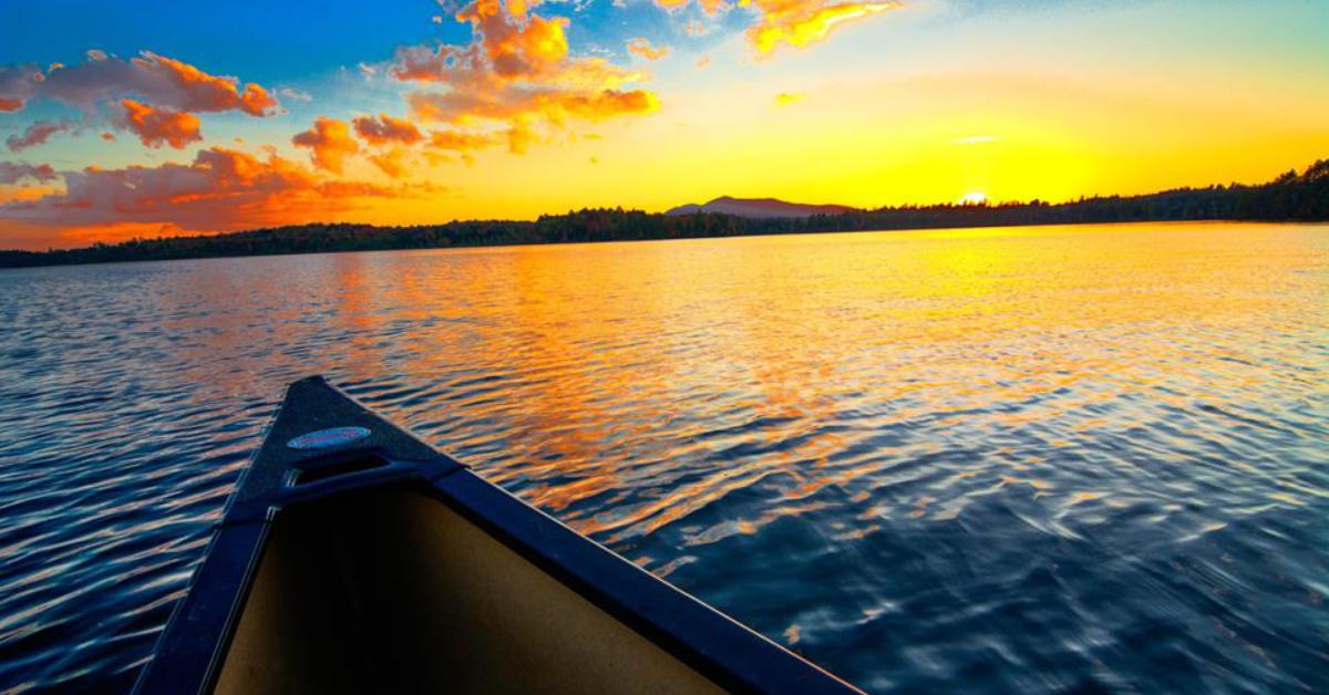
Photo Credit: Shane Garlock
Hudson River
- North River at State Route 28
- Riparius Bridge at State Route 8
- Nature Trails at Hudson Street
- Warren County Fish Hatchery on Echo Lake Road
- Thurman Station Bridge at State Route 418
- Hudson River Recreation Area
- Three-quarters North of Lake Luzerne on River Road
Schroon River
- Starbuckville Dam on County Route 53
- South Horicon Bridge on Country Route 30
- Middletown Bridge on East Schroon River Road
- County Home Bridge on East Schroon River Road
- River Street in Warrensburg on South side of river
St. Regis Wilderness Canoe Area
- NYS Fish Hatchery at Little Clear Pond off Route 30
Black River
- Municipal boat launch at Upper Lyons Falls
Moose River Plains
- Access via Raquette Lake and Cascade Mountain
Grass River
- Roads along the river (Chamberlain Corners, Andrews Street in Massena)
Indian River
- The river itself provides access to 15 lakes
- Accessible via River Road Bridge
Raquette River
- Via DEC-maintained boat launch area (the Crusher) on the southern side of Routes 3 and 30, four miles east of the Village of Tupper Lake
Deep River
- Parking and launch site at Route 30 on Cold Brook Road
- Put-in located at Red Tavern Road
St. Regis Lakes Loop
- Keeses Mill Road
- Regis Lake Boat Launch
- Lower St. Regis Lake at Paul Smith's College
Black Pond
- DEC-built canoe launch on the north side of Keese Mill Road
Sixteen Mile Level
- Parking area near lower end of the bridge
- .7 mile road from the parking area to the river (suitable for wheeled carriers)
Did we miss one? Did one of these places close? Send us a note!