Adirondack Hiking Maps: Your Guide to Trails & Adventures
Planning a hike in the Adirondacks? Having the right map in hand makes all the difference. Whether you’re tackling the High Peaks, exploring quiet wilderness trails, or setting out on a multi-day backpacking trip, Adirondack hiking maps give you the topographic detail, trail distances, and backcountry info you need to stay safe and confident outdoors.
Where to Find Maps for Adirondack Hiking
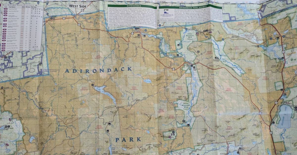
Adirondack Mountain Club: Publishes the Forest Preserve Series: High Peaks, Eastern/Central/Western Trails, Northville–Placid Trail, plus Catskills. These are waterproof, topographic, hiker-oriented maps designed with trail distances, lean-tos, campsites, and contour lines.
Available at the ADK store (Lake George & Heart Lake/Keene) or online: https://adk.org/books-maps
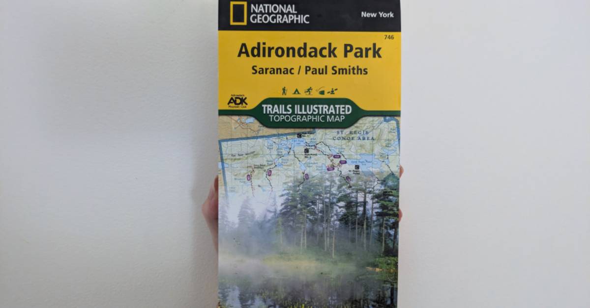
National Geographic - Trails Illustrated Maps: Their Adirondack Map Pack covers the entire park with hiking trails, backcountry campsites, and trailheads. Widely sold online and at outfitters.
See more here: https://www.natgeomaps.com/ti-adirondack-park-map-pack-bundle
The Mountaineer (Keene Valley): High-end outdoor gear shop specializing in hiking and climbing. They carry ADK and NatGeo topo maps for the High Peaks and surrounding ranges.
See more here: https://mountaineer.com/high-peaks-adirondack-trail-map/
The Bookstore Plus (Lake Placid): This independent bookstore has a strong outdoor section, complete with ADK trail maps and guidebooks for hikers.
See more here: https://thebookstoreplus.com/lists/Lvm1vT6KfMqg
The Village Mercantile (Saranac Lake): The "Adirondacks' Own Department Store" carries trail maps for hiking, cycling, fishing, and boating.
See more here: https://villagemerc.com/collections/maps