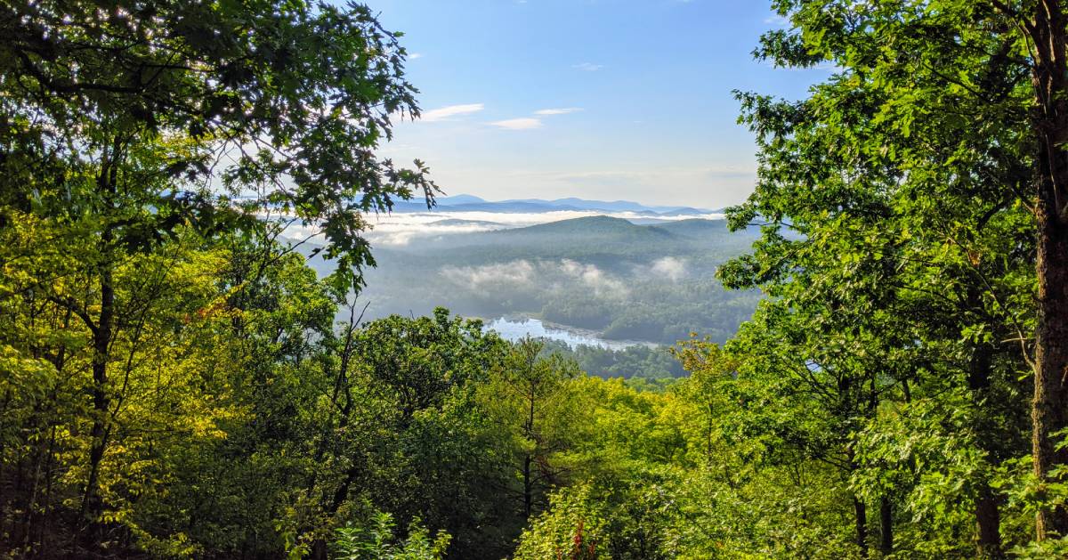
Tackle Adirondack Hiking Challenges: Your Adventure Awaits
Discover a variety of Adirondack hiking challenges, from family-friendly trails to high peaks, fire towers, and more. Each challenge has unique rules and regulations for earning a winner's patch.
Be sure to read the details, prepare adequately, and hike within your means. Good luck out there!
Jump To: Town/Community/Organization-Run Challenges | Private/Individually-Run Challenges | Challenge Preparation
Town, Community, and Organization Sponsored Hiking Challenges
*The 4-3-2-1
The 4-3-2-1 is a customizable hiking challenge based around Indian Lake, NY. Participants must choose a combination of easy, moderate, and difficult hikes.
*The Adirondack Fifty Falls Challenge
The Adirondack Fifty Falls Challenge is slightly different from the others, as you need to buy a (comprehensive, fantastic) book of the same name to access the list of 50 waterfalls.
This challenge features lesser-known falls outside of the High Peaks region to encourage hikers to explore other areas of the Park.
*The Adirondack Forty-Sixers
To complete this difficult challenge, summit all 46 High Peaks of the Adirondack Mountains.
*ADK Gateway 8 Challenge
The ADK Gateway 8 Challenge allows you to hike, bike, and/or paddle your way through Saratoga and Warren Counties, in and near Corinth (or just hike).
*The Chester Challenge
The Chester Challenge is a family-friendly hiking challenge that focuses on the lesser known trails in the Town of Chester.
*The Cranberry Lake 50
To conquer this challenge, hike the 50 mile loop around Cranberry Lake - the third largest lake in the Adirondacks - over multiple days or seasons.
*The Fire Tower Challenge
To be a Fire Tower Challenge member, climb peaks topped with vintage fire towers in the Adirondacks and the Catskills.
*The Great 8 Challenge
The family-friendly Great 8 Challenge from St. Lawrence County is actually three separate challenges, each of which contains eight trails.
*Hamilton County Fire Tower Challenge
The Hamilton County Fire Tower Challenge encompasses all of the fire tower hikes within the County.
*The Inlet Outdoor Family Challenge
Also family friendly, the Inlet Outdoor Family Challenge welcomes you to hike, bike, or paddle 12 of 17 chosen locations in the Inlet area.
*The Moriah Challenge
The Moriah Challenge is a seasonal hiking challenge based around the Moriah/Port Henry area in the Adirondacks and features four family friendly hikes.
*The Saranac Lake 6er
To finish this challenge, you must climb all 6 of the Adirondack mountains surrounding Saranac Lake.
*The Northern Pathways Challenge
Hike three of five specified trails to complete the Northern Pathways Challenge, an Adirondack hiking challenge organized by Champlain Area Trails (CATS).
*Northville-Placid Trail Challenge
To complete the Northville-Placid Trail challenge, hikers must complete the enter 135-mile trail either in one trip from end-to-end, or in sections.
*The Tupper Lake Triad
The Tupper Lake Triad is one of the more family-friendly hiking challenges that consists of 3 peaks.
*The Waterfall Challenge
To complete the Waterfall Challenge, hikers must collect a total of 12 points after visiting several waterfalls, each of which count as 1 to 4 points.
Privately or Individually Run Hiking Challenges
*The Adirondack Blue Challenge
To complete the Adirondack Blue Challenge, hikers must hike a total of 10 mountains in the northern Adirondacks.
*The Fulton Chain Trifecta
The Fulton Chain Trifecta is a hiking challenge centered in the Old Forge, NY area. Hikers must climb Black Bear Mountain, Rocky Mountain, and Bald Mountain.
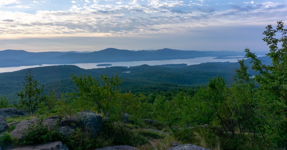
*The Lake George 12ster Challenge
The Lake George 12ster is a Lake George Region hiking challenge. Hikers are challenged to summit peaks on the east and west side of the lake.
*Wonders of Wilmington Hiking Challenge
The Wonders of Wilmington Hiking Challenge highlights lesser-known trails in the Wilmington area, with a bonus hike at Whiteface Mountain.
Prepare Properly for Your Trip

These are called challenges for a reason! While some of them might literally involve walks in parks, they certainly aren't a walk in the park.
To give yourself the best chance of completing these challenges, you need to prepare properly. That means doing your research on each of the trails, the conditions you will be facing, and the gear you may need.
Finding the right attire is one of the most crucial parts of preparing for a hike. When you're spending hours outside on these trails, you will want to ensure you are dressed properly. Let us help you find the best clothing to wear for your next challenge.
Browse Our Suggested Hiking Apparel
If you already own the right attire but are looking for gear to help make traversing the trails easier, we can assist with that too!
See winter hiking challenges »
« Back to the Adirondack Hiking Guide
Amazon Affiliate Disclosure: Our team independently recommends products on Amazon.com, and we earn from qualifying purchases.