We Hiked Mount Colden via Avalanche Pass: Our Full Loop Recap
Mount Colden was my 14th Adirondack High Peak. After Giant and Rocky Peak Ridge, Marcy, and the trail to Wright, Algonquin, and Iroquois, I had a good sense of the drive, the terrain, and what to pack. The timing also lined up: Avalanche Pass, the scenic approach to Colden, reopened in August 2026 after more than a year of closure.
On Wednesday, October 7, 2026, a friend and I hiked the full loop just after peak foliage. We picked a weekday to dodge the bigger crowds, and it worked. Here’s how the day went, with times, mileage, and tips for your own trip.
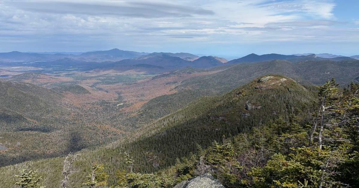
Mount Colden at a Glance
Mount Colden is the 11th highest peak in the Adirondacks at 4,714 feet. Its most prominent feature, the Trap Dike, draws experienced hikers and rock climbers.
- Distance: 13.2-mile loop (per AllTrails)
- Elevation gain: 3,087 feet
- Route: Avalanche Pass, Lake Colden, the summit, then Lake Arnold
- Our total time: About 9 hours, 15 minutes
- Trailhead: Adirondak Loj, Parking Lot 1
Planning the Mount Colden Loop
I read AllTrails and other trip reports before the hike. Most averaged 8 to 10 hours, so I planned around that range.
We hiked counterclockwise: through Avalanche Pass first, up the steep trail from Lake Colden, then down via Lake Arnold. Reports gave two reasons for this direction, and both held true. You see Avalanche Pass, Avalanche Lake, and the Trap Dike before the hard climbing. And you climb Colden’s steepest side instead of descending it, while the Lake Arnold descent is easier on the legs.
Lake Arnold is known for mud in wet seasons, so I hoped a mostly dry fall would help. It did, for the most part.
Getting There and Parking at the Adirondak Loj
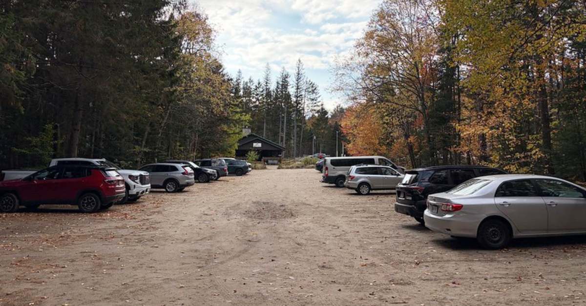
We drove just under 90 minutes north from the Lake George area via I-87 and Route 73. It was dark most of the way, but hints of color promised a scenic drive home. We pulled in around 6:50 a.m., and the sun rose shortly after we hit the trail.
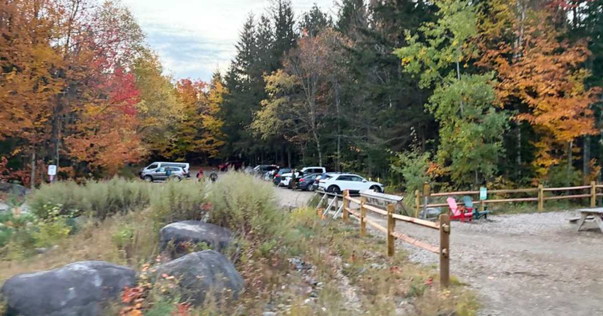
The entrance booth wasn’t staffed yet, so we parked in Lot 1. It was about a quarter full, ringed by orange, red, and yellow trees, with a split-rail fence and Adirondack chairs along the edge.
Parking Fees and the New Gate System
The Adirondack Mountain Club (ADK) manages parking at its Heart Lake property. 2026 rates:
- Full day: $25 non-member, $10 member
- Half day (after 1 p.m.): $15 non-member, $6 member
- Multi-day/full week: $120 non-member, $50 member
In August 2026, ADK announced automated gates that let visitors pay on departure, with no rate increase. Staff and volunteers will still greet visitors at the booth.
During our visit, a temporary sign at the gate had a QR code for paying online. The system may be fully running by your trip.
High Peaks Information Center Facilities
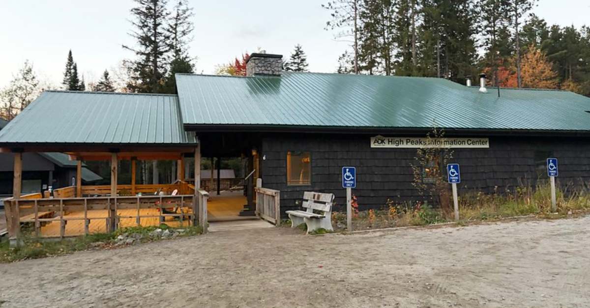
There’s no cell service at the lot, but the High Peaks Information Center posts a Wi-Fi sign, which we used to pay for parking. The dark-shingled, green-roofed building also has real restrooms. They were open when we arrived, but closed for maintenance when we returned. However, porta potties are also available near the entrance booth a short walk away.
The center has a store as well, though we didn’t stop in this time. The Hungry Hiker, the on-site dining spot, was closed that day, so check its hours. I recommend the burgers from a past trip.
Hiking Mount Colden via Avalanche Pass, Step by Step
Trailhead to Marcy Dam
Sign the trail register and follow the Van Hoevenberg Trail, during which you can enjoy 2.2 miles of gentle and rolling terrain to Marcy Dam.
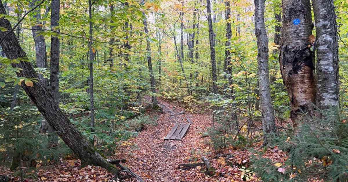
We arrived around 8:00 a.m. Most backcountry privies are near the dam, so watch for signs.
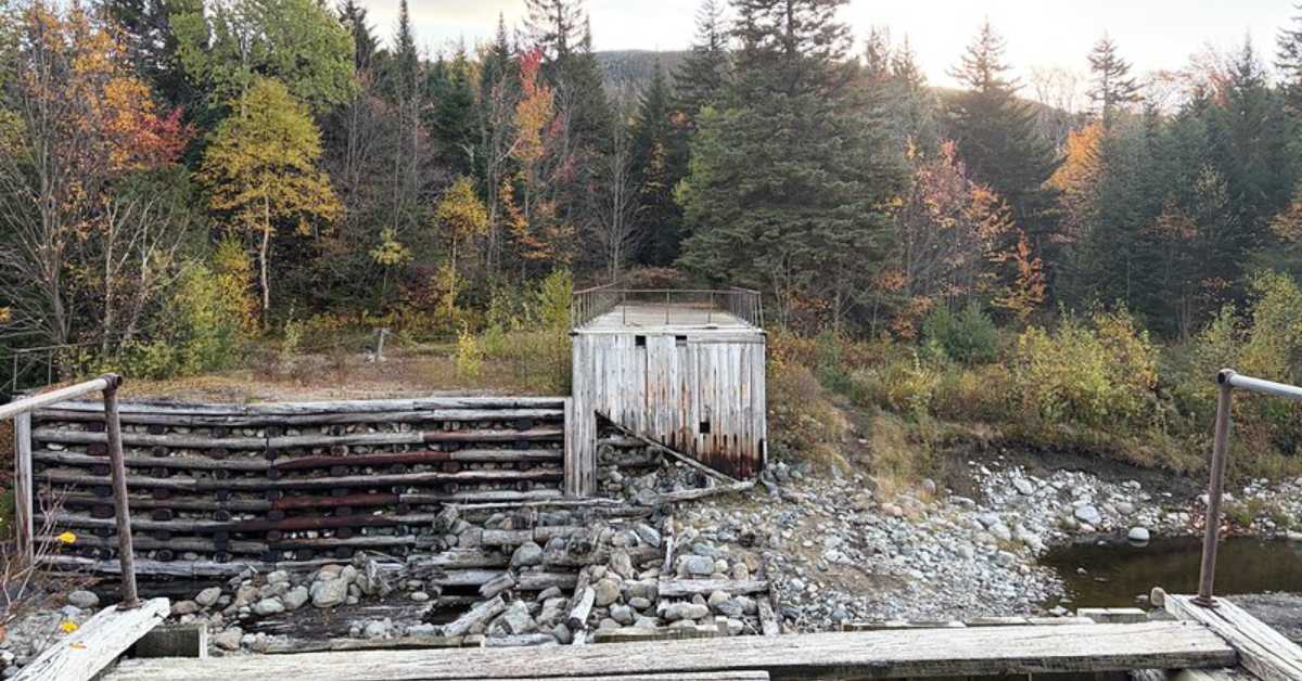
At the junction past the dam, the Van Hoevenberg Trail goes left. Go right toward Avalanche Pass and Colden, following Marcy Brook past several lean-to campsites. About a mile later, with 400-plus feet gained so far, you’ll reach the Lake Arnold junction. Stay right. You’ll return this way at the end of the day.
Through Avalanche Pass
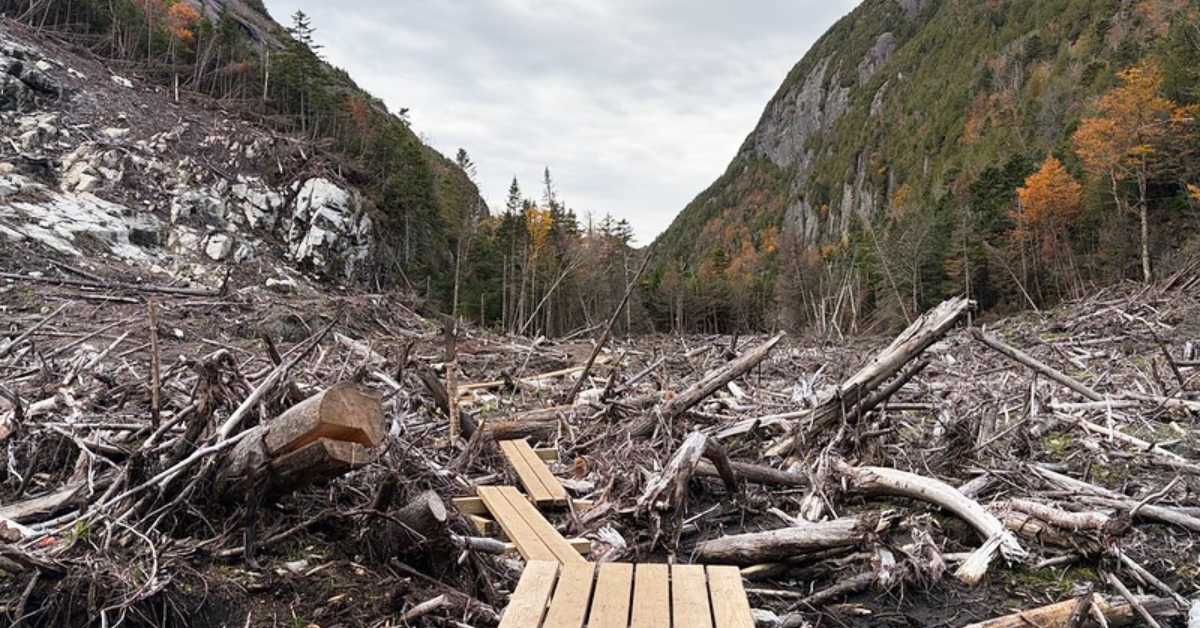
We reached the pass around 9:10 a.m., and it was the most memorable part of the day. In July 2025, landslides from Mount Colden buried the trail here, and DEC kept it closed until August 26, 2026.
The aftermath looks like a tree graveyard: splintered trunks and rock debris fill the valley floor, and you can trace exactly where it all came down from the bare scar on the cliffside above. A new plank walkway now leads through it. Trail work continues through 2027, so watch for crews.
Avalanche Lake and the Hitch-Up Matildas
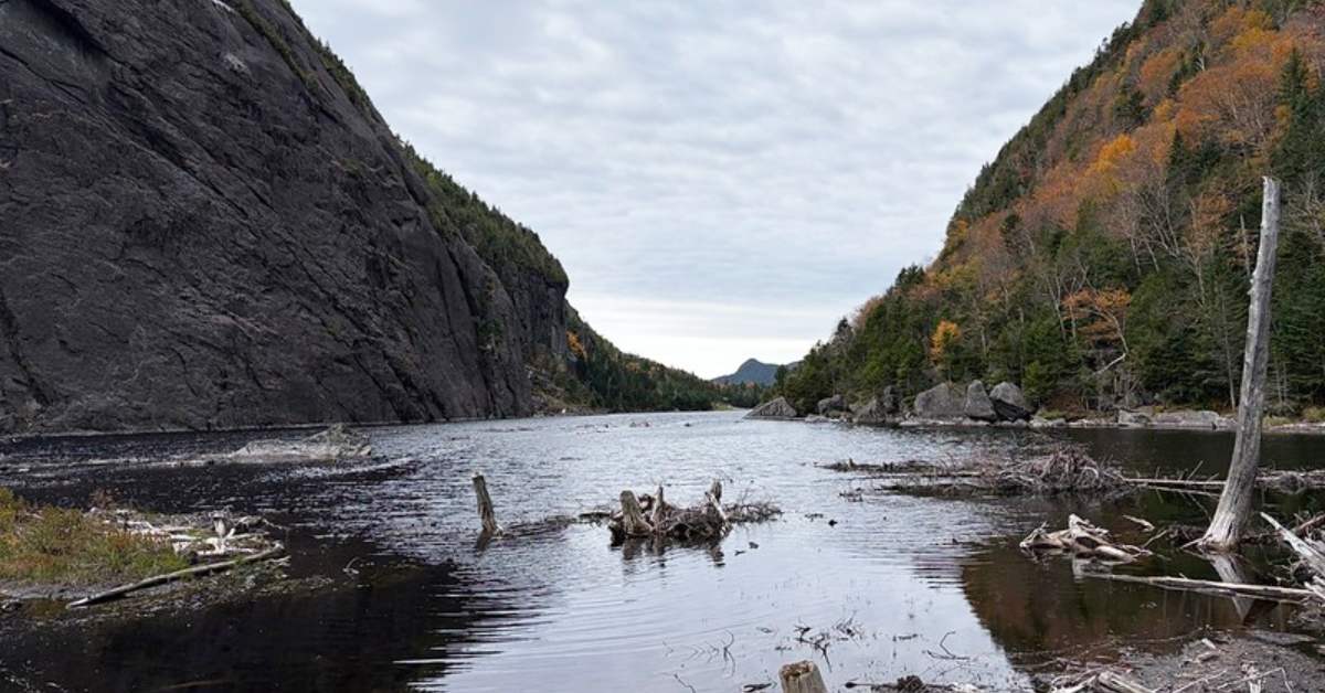
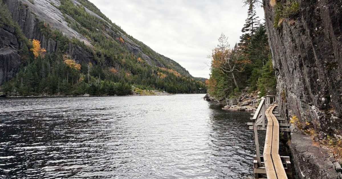
Avalanche Lake came into view at 9:19 a.m., and this stretch was my favorite of the hike. The trail follows the west shore, on your right as you arrive. It’s tricky to spot, so head right at the water’s edge and scan along the lake for the route.
The terrain adds variety before the big elevation gain: ups and downs, some rock scrambling, and the Hitch-Up Matildas, narrow wooden platforms bolted to the cliffs above the water.
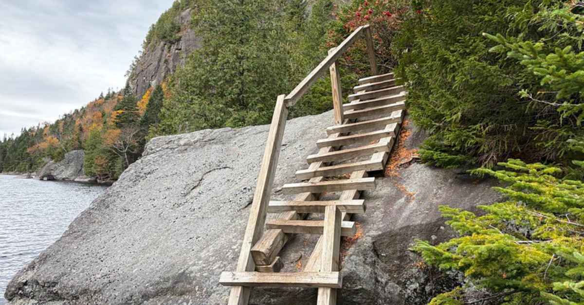
Colden’s steep slabs rise across the lake, with gold foliage scattered along the shore. After a snack break, we reached the lake’s far end around 9:54 a.m.
The Climb from Lake Colden
The trail continues briefly along the east side of Lake Colden, on your left. Some reports call the next turn tricky, but a sign marks it, including the elevation gain to the summit. We started up at 10:17 a.m., about 5.6 miles in.
This is the heavy lifting: nearly 2,000 feet of gain in about 1.5 miles. Expect dirt trail, rock steps, and scrambling, with occasional long wooden ladders set into steeper rock faces.
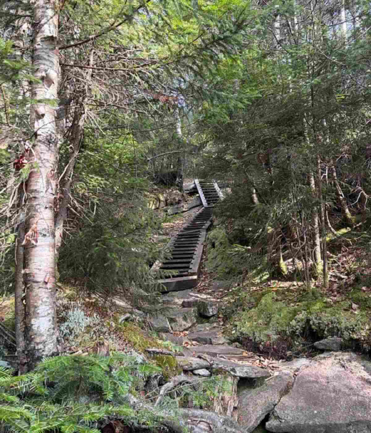
Moss-covered boulders and dense spruce, fir, and birch line the route. Pace yourself. On the rock scrambles near the summit, follow the yellow paint marks on the stone for the best path, similar to other High Peaks with open rock.
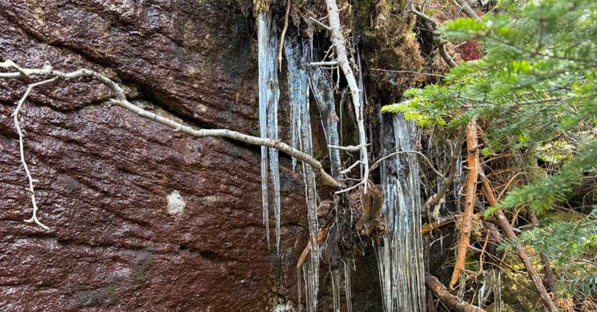
We spotted icicles on one shaded rock. Traction wasn’t needed, but winter conditions arrive early up here.
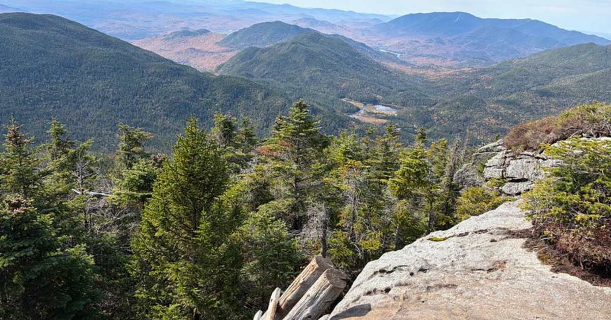
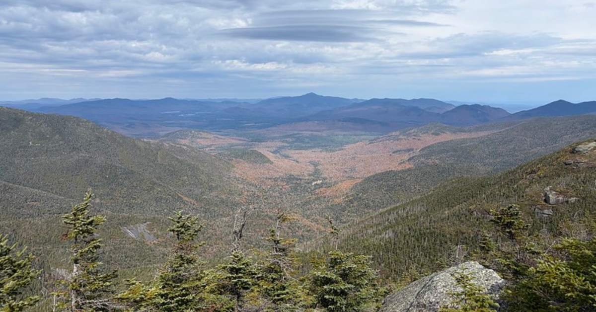
Around 11:42 a.m., roughly 0.3 miles below the summit, one more ladder brought us onto a broad ledge. Forested ridges drop toward a small pond in the valley, with hazy blue ranges beyond.
Summit Views
We reached the summit at 12:15 p.m. A few rocky viewpoints offer spots to sit. We picked out Algonquin and nearby peaks from one viewpoint, plus Lake Placid and its famous ski jumps from another. Most foliage below had faded to orange and rust, with the maple reds already down on the ground.
The Descent via Lake Arnold
Follow the markers to the end of the summit trail. At a large boulder, the path wraps around its side and down. You’ll cross Colden’s north summit before the full descent begins.
Going down took fewer breaks. Expect moderate scrambling and a few ladders; grabbing a tree or sliding on your backside helps in spots.
The Lake Arnold section was my least favorite part. It wasn’t knee-deep bog, but my right foot sank all the way into the mud at one point, and a faint boggy smell hangs over the area. The stretch isn’t long, but there’s no avoiding it.
Use the wooden walkways where you can, and walk through the mud rather than around it. Staying on the trail protects the surrounding plants and wildlife. Clear streams nearby made rinsing off my boots easy.
From Lake Arnold, return to the Avalanche Pass junction and continue straight to Marcy Dam and the trailhead. The descent totals about 6.1 miles. Between Avalanche Pass and our return to Marcy Dam, we passed only about eight other hikers, with more traffic around the dam and on the way back to the lot. We were back at the car by 4:17 p.m.
How Long Does the Mount Colden Hike Take?
Our total time was about 9 hours, 15 minutes, including breaks, right within the 8 to 10 hours most reports suggest. Pace depends on fitness, conditions, and summit time, so plan for a full day.
Know Before You Go
What I Packed
Temperatures started around 30 degrees and warmed slowly, so layers were essential. My fall hiking gear included the following and more:
- Osprey Manta 34L with a 2.5L reservoir
- Waterproof hiking boots and extra socks
- Layers, hat, and gloves
- Lunch, snacks, and extra water with electrolyte mix
- Headlamp, space blanket, and fire starter
- Portable battery charger and bug spray
- Trekking poles for the steep sections
- Printed (paper) map of the route
BROWSE TOP-RATED HIKING APPAREL
Tips for the Trail
- Download offline maps. There was occasional cell service higher up, but don't plan on it.
- Break the day into pieces. Marcy Dam, the junctions, and Avalanche Lake made natural checkpoints. On the climb, I rested briefly after long ladders or every 100 feet of gain.
- Know your limits. I’ve done several 8-plus hour days, so I was prepared for the steep climbs and scrambling. Be ready for the terrain and a long day, and pack more than the essentials.
- Follow the markers. The loop is well marked, with official trail markers throughout and colored ribbons in some sections.
- Plan for the season. Lake Arnold gets extremely muddy in wet months, and ice can appear in late fall. Black flies weren’t an issue in October, but you'll likely need bug spray in the summer.
- Arrive early on weekends. Parking was easy on our weekday, but summer and foliage weekends fill quickly. Bring a headlamp if you’ll start in the dark.
- Check current conditions through Facebook hiking groups, online message boards, or the Adirondack Mountain Club.
Pro tip: Leave a cooler in the car. An iced coffee waiting at the trailhead is a welcome reward after 13 miles.
The Verdict
I enjoyed every muddy mile of this full-day loop. Avalanche Pass and Avalanche Lake were the highlights, and the summit views held up well even just past peak color. On the drive home, the lower elevations around Keene were still showing brighter foliage.
This recap reflects a single day on the mountain. For a fuller picture, read trip reports from hikers of varying skill levels and across different seasons, then browse our Adirondack hiking guide to plan your next hike.
See the Adirondack Hiking Guide >>
Explore more fall hiking ideas >>
<< Back to Adirondack Spotlight
Amazon Affiliate Disclosure: Our team independently recommends products on Amazon.com, and we earn from qualifying purchases.